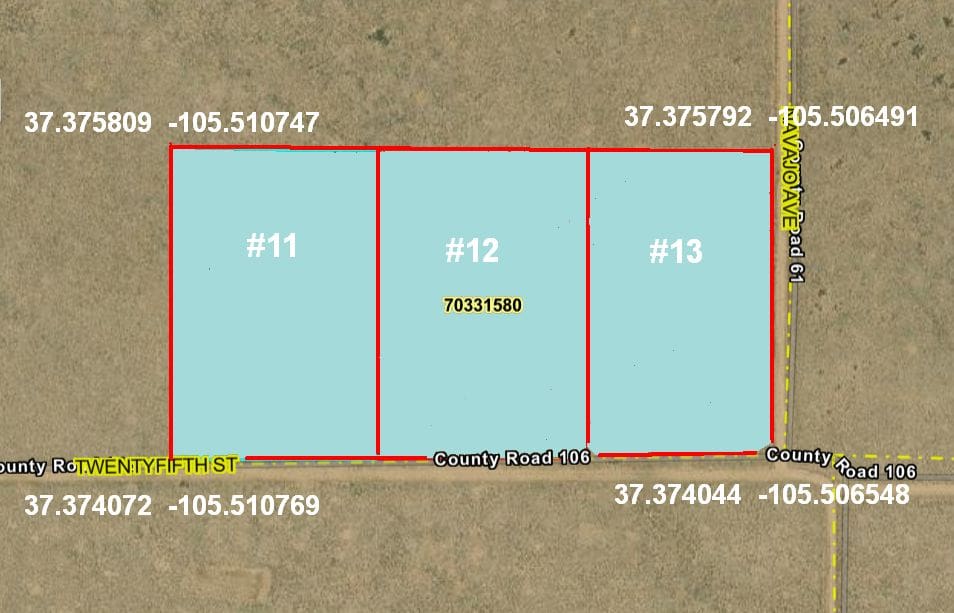
SLVR Unit R, Block 4, Lots 11, 12 & 13 (Approx 5.5 acres each & 16+ acres total)
Property Details
- Unit R
- Block: 4 Lots: 11, 12 & 13
- Elevation: 7788 feet
- Size: 16+ acres (Three adjacent parcels at approximately 5.5 acres each)
Property Highlights
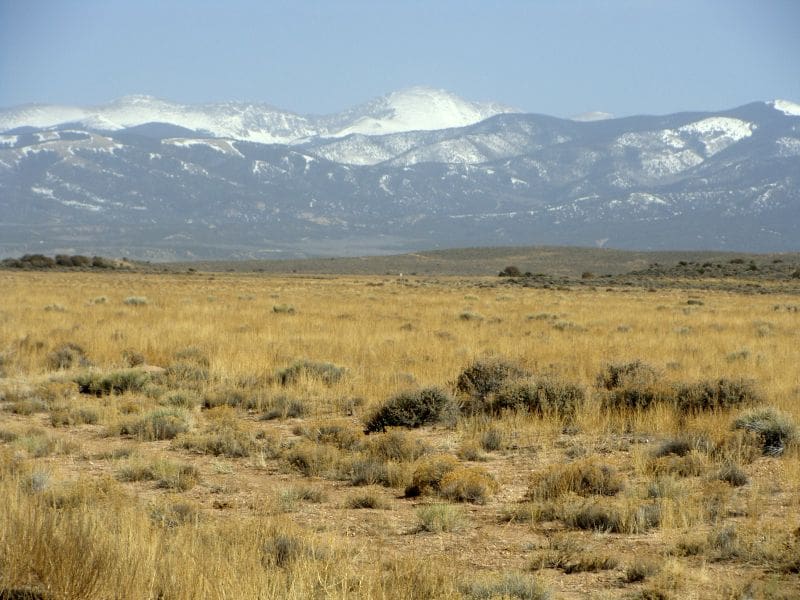
- Panoramic Mountain Embrace – Sweeping views of the Blanca Massif to the north, Culebra and Trinchera Peaks in the Sangre de Cristo Range to the east, and the distant San Juan Mountains to the west
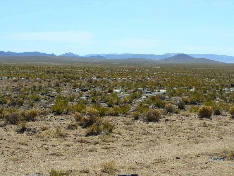
- Flat & Buildable Terrain – Mostly level land, with natural volcanic rock outcroppings adding scenic character
- Smith Reservoir Access – Just 1 mile north by foot (2 miles by road), offering boating, fishing for bass, trout, and northern pike, with a public boat ramp
- Peaceful Seclusion – Quiet, low-density area with minimal human activity and dark skies perfect for stargazing or spotting mysterious lights in the sky 😉
Pricing Information
- Cash Price: $17,000
- Financed Price: $19,500
- Down Payment: $9,000
- Monthly Payments: $250 for 42 months
Property Features
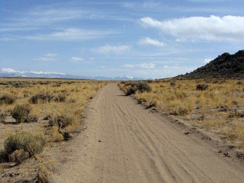
- These parcels are mostly flat
- There are great views of Smith Reservoir & the Blanca Massif to the north, the Sangre De Cristo mountains with Trinchera Peak and Culebra Peak to the east and The San Juan Mountains to the west.
- Seclusion: Quiet and minimal human activity
- Smith Reservoir, located in the heart of the San Luis Valley, is about one mile north by foot (2 miles by road). It has a boat ramp & it’s a local favorite for bass, lake trout, and northern pike fishing. Rainbow trout can be caught at Mountain Home Reservoir, about 9 miles to the east.
- Volcanic rock outcroppings add character to the landscape
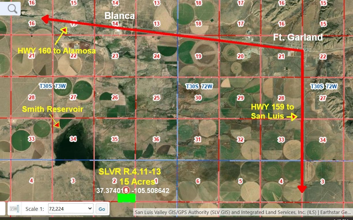
- The Rio Grande River runs about 7 miles to the south. It is about 7 miles to the little town of Blanca from this plot and 26 miles to Alamosa. Alamosa has Wal-Mart, Safeway, City Market, Home Depot and Walgreen Stores.
Location and Accessiblilty
-
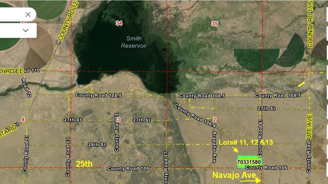
Location: About 7 miles south of Blanca, off Highway 160 & 2 miles south of Smith Reservoir (by car)
-
Access: Via County Rd. 12 from HWY 160
Directions
- From Blanca, head west on Highway 160 to County Road 12 (at Smith Reservoir sign).
- Drive south on CR 12 across creek & past Smith Reservoir.
Turn left at 28th Street/County Road 108.5 (first road past reservoir). - Continue east 1.3 miles to diagonal County Road 106.4.
Take diagonal southeast for 0.5 miles, then right on Arapahoe. - Continue south 0.5 miles (Hogback Ridge on right) to 25th Street.
- Turn left onto 25th Street. Drive east 0.25 miles.
The three parcels begin on your left (north side) with approximately 1,200 feet of frontage along 25th Street & go all the way to Navajo Ave. - GPS coordinates for 25th Street turn: 37.373965°, -105.515162°
Property Images
(Please note some of these photos are taken from nearby Unit A)