SDCR E-77-995
Property Details
- Unit E
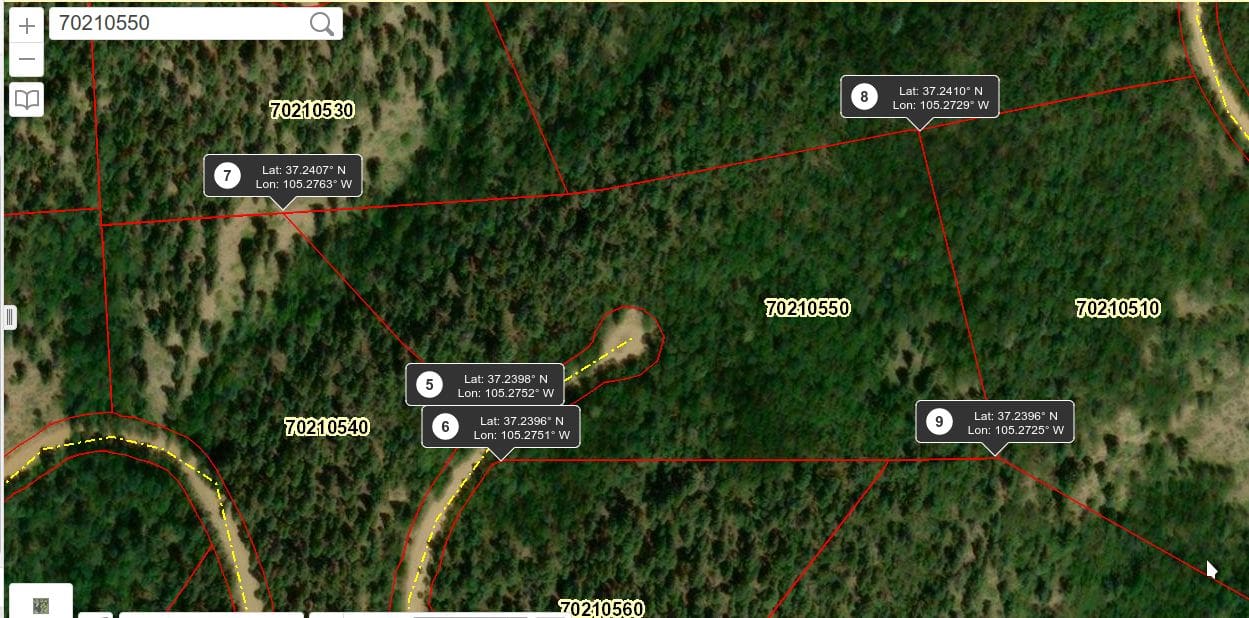
- Block: 77 Lot: 995
- Elevation: 8,350 feet
- Size: 5.067 Acres
Property Highlights
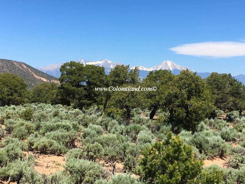
- Piñon Privacy Haven – Mature trees throughout for seclusion without feeling closed in
- Choose Your View – Multiple building sites to capture your perfect Blanca Massif, Mesa or foothills backdrop
- Endless Southern Horizons – Sweeping vistas all the way to Ute Mountain with intimate foothills dancing to the east
- 8 Minutes to Adventure – Quick reservoir access from your private retreat
Pricing Information
- Cash Price: $24,500
- Financed Price: $28,000
- Down Payment: $11,200
- Monthly Installments: $350 x 48 months
Property Features
- Heavily wooded with mature Pinion pines
- Gains slightly in elevation from Wilking south to the property’s rear
- Great views of Blanca Massif and Rattlesnake Mesa from the road and several potential building spots on the lot
- Provides a secluded feel due to its many trees
- A few potential building areas require a driveway and pad
- Mountain Home Reservoir: Approximately 8 minutes away
- Offers: Fishing and camping
- Alamosa: About 25 minutes West of Fort Garland
- Amenities: Walmart, hospital, many restaurants, and other amenities
- Various spots to pitch a tent for a weekend camping trip
Location and Accessibility
- Fort Garland: About a 10-minute drive away
- Offers: Post Office, grocery store, two gas stations, a liquor store, two motels, and several restaurants
- Year-round accesible
Directions
- Starting Point: Fort Garland
- Head south on Colorado Hwy 159 for approximately 4.7 miles.
- Turn left onto County Lane 6.
- Follow County Lane 6 for about 2.5 miles to a 4-way intersection.
- Continue straight onto Juarez Rd.
- Drive for 1 mile on Juarez Rd.
- Turn left onto Bateman Rd and drive for 0.2 miles.
- Take the first right onto Wilking and reset your odometer.
- Drive 0.45 miles and stop your car.
- The Northwest corner of SDCR E.995 is on your right.
Property Images