Sangre de Cristo Ranches
Explore What We Offer
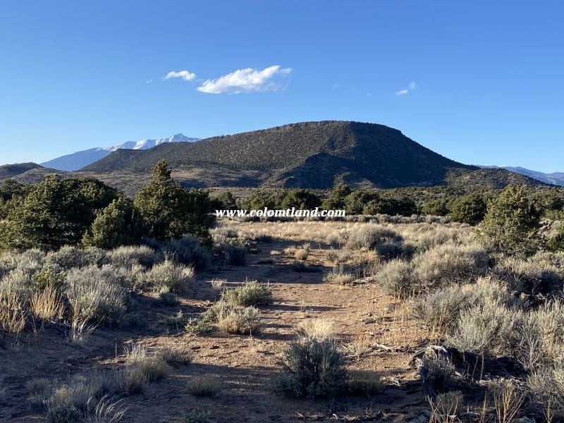
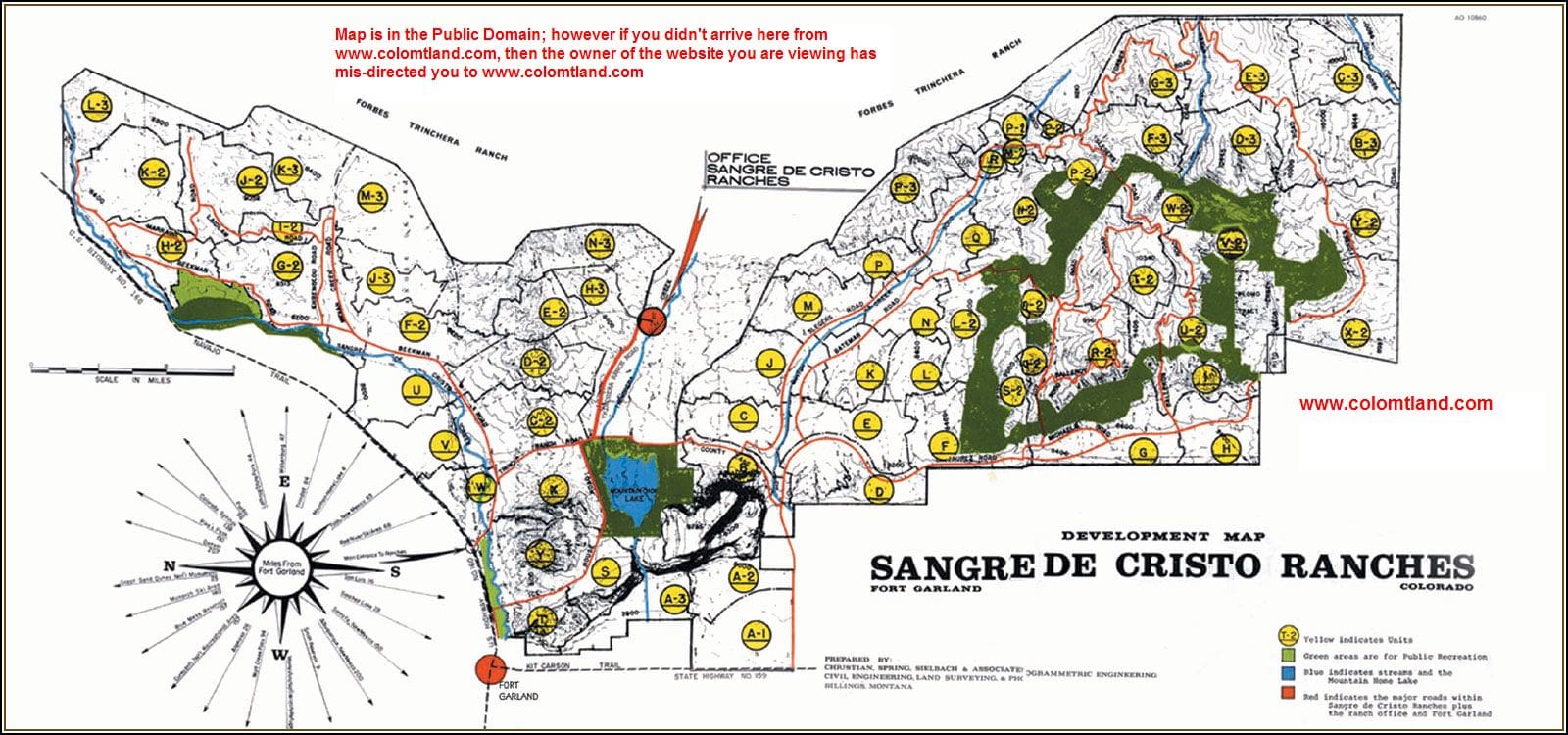
Please see the map above to locate our SDCR properties
What Our Buyers Say
“The viewings were great. We felt very welcome and the experience was amazing. We chose the Talmage lot and we are very happy with our choice. Looking forward to building here. Thanks to everyone for their time and effort.”
— Phil and Norma, Georgia
Own Your Piece of Paradise with Our Available Properties
Find available properties near Fort Garland, CO, with the help of Sattler Mountain Land. Sangre de Cristo Ranches (SDCR) is an ideal destination for residential or recreational use due to its 90% undeveloped area and over 5,000 acres of dedicated Greenbelt for it’s residents. We’re committed to guiding you through essential regulations and maximizing your residential or camping experience in this unique and scenic setting.
Building Permits and County Regulations
Costilla CountyBuilding permits, including those for driveways and septic systems, are essential and must be obtained from the county. Additionally, recent updates to county regulations specify frequency limitations for camping due to sanitation and fire concerns.
Adhering to Covenants and Guidelines
The SDCR has a voluntary HOA. We strongly advise every potential property buyer to familiarize themselves thoroughly with these covenants and local regulations. Our business strictly adheres to these guidelines and expects exact compliance from our clients.

Understanding Short-term Camping and Exceptions
While you are purchasing land from us, we do not allow building projects, living on the land, or storing of equipment, supplies, or vehicles. We do allow short-term camping. All county Rules and Regulations must be followed regarding camping and permitting. If you get our permission, you can put in a driveway and/or camping pad, with a permit from the county. There might be a few exceptions, such as keeping a fire-pit on the property which we can allow on an individual basis, provided there is no fire ban in effect.
SDCR C3-287-6446
Property Details
- Unit: C3
- Block: 287 Lot: 6446
- Elevation: 9,900 feet
- Size: 8.87 Acres
- Seasonal Accessibility: Memorial Day through December
Pricing Information
- Cash Price: $25,500
- Financed Price: $28,000
- Down Payment: $11,500
- Monthly Installments: 55 Payments of $300 each
Property Features
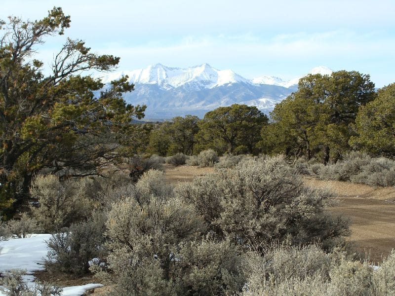
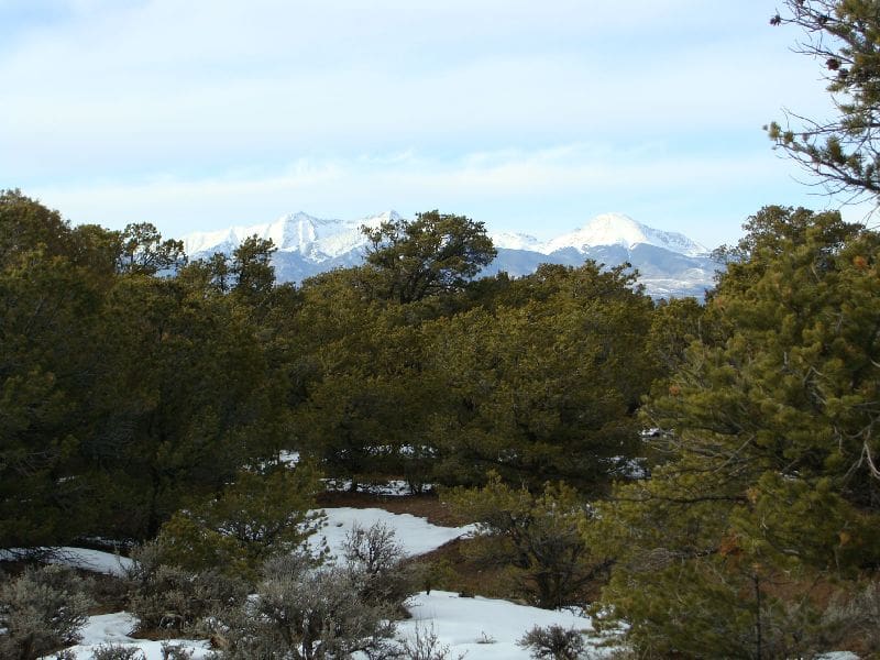
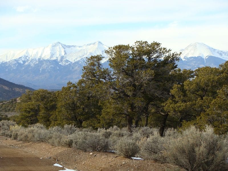
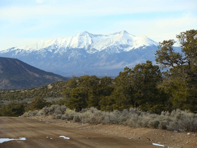
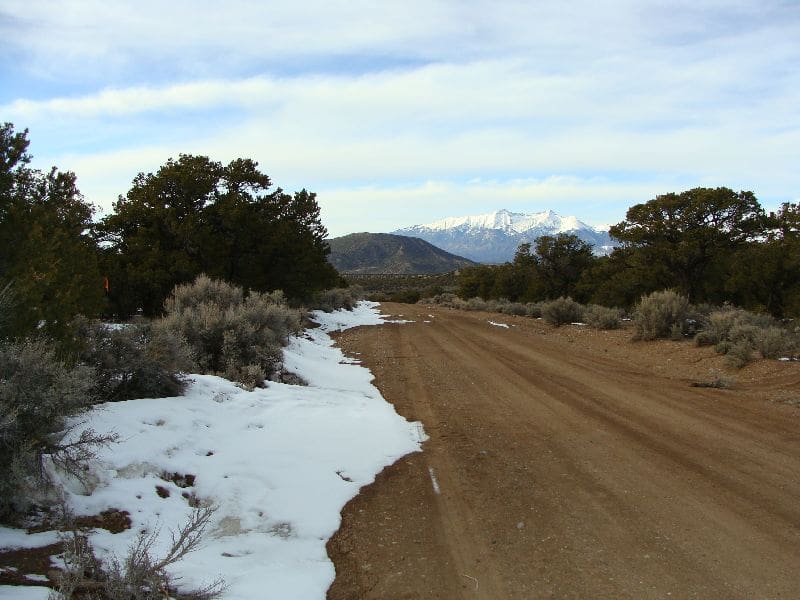
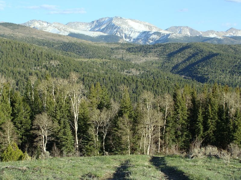
It is located in an area that we lovingly refer to as “Magic Valley,” with amazing views of snow-capped peaks. This area is a favorite for local families, several of which own cabins along connecting roads throughout the valley.
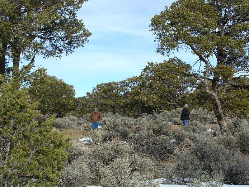
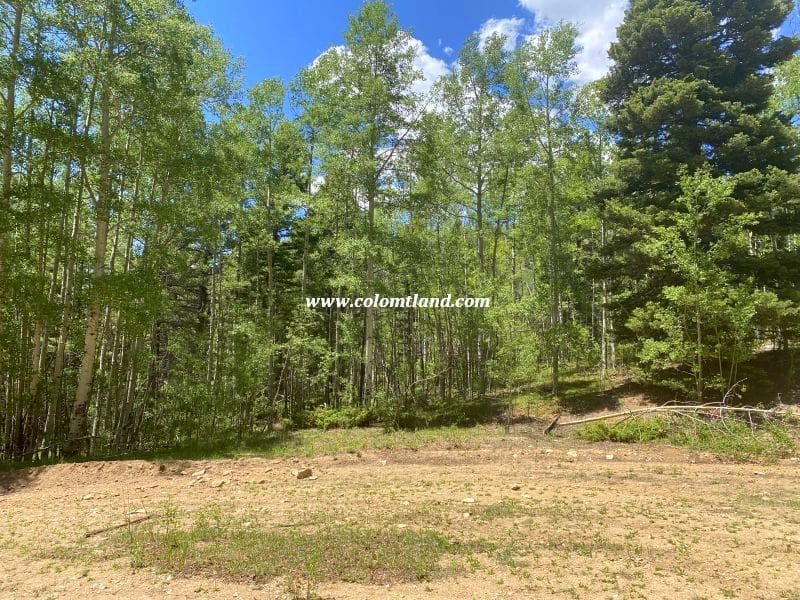
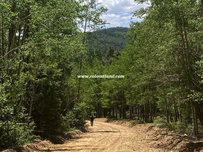
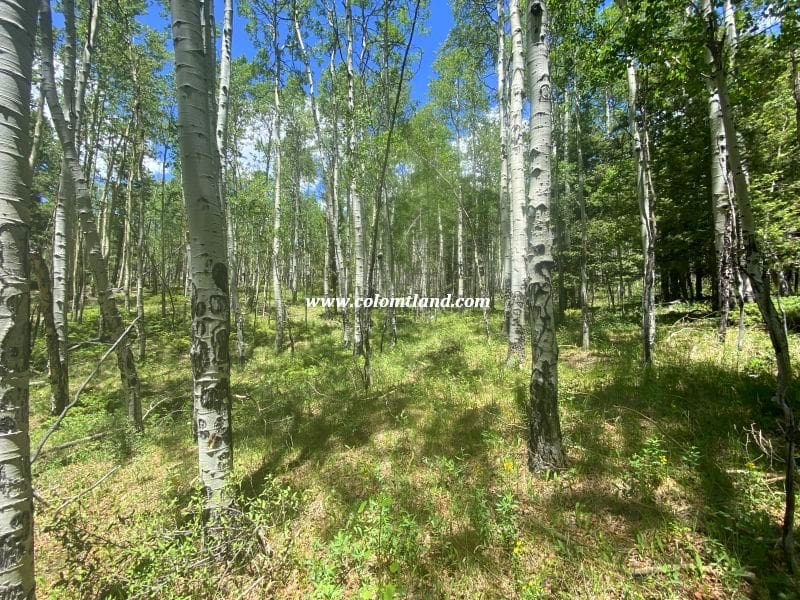
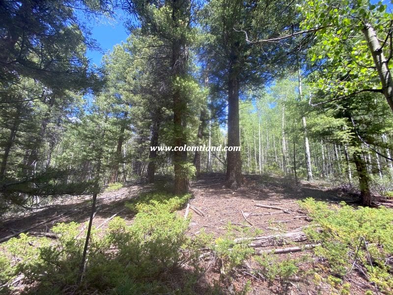
This property has varied terrain, generally gaining altitude from the cul-de-sac at the end of Jacquez, with many interesting features to explore. There are several potential building areas off the road, which would require minor tree removal. There are also a few spots that would be great for pitching tents. Summertime temperatures in this area are typically 10-20 degrees cooler than in the San Luis Valley, which makes it a great destination for beating the heat.
There is a seasonal creek near the corner of Malcolm and Jacquez, a mile up the road.
Location and Accessibility
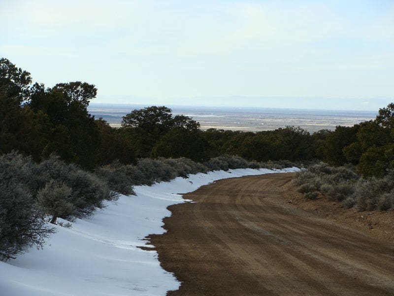
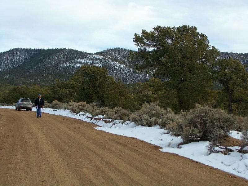
Please Note: This property is only accessible between Memorial Day and early December. They lead to an alpine parcel above 10,000″. Certain road conditions might make the property inaccessible to vehicles. Precise caution is necessary when the roads get muddy or snowy. Portions of Forbes possess a very slippery, silty clay surface, which can cause the vehicle to slide into the ditch. If such conditions are present, it’s advised to use chains or not proceed.
Directions
Please exercise extreme caution during your journey and ensure you have proper equipment and knowledge for conditions you may encounter.
- Starting Point: Fort Garland
- Head south on Colorado Hwy 159 for about 10 miles.
- After passing Mile Marker #22, turn left at Jasper Road.
- Take the next right, go 1/4 mile, and turn left at Rito Seco Road.
- Head east on Rito Seco for about 5 miles, passing some Battle Mountain Gold Mine buildings on your left.
- Turn right on Forbes Road. (Note: Forbes Road is the main road into the high country)
- Reset your odometer as you take the right turn on Forbes Road.
- Drive up the mountain on Forbes Road for approximately 3.7 miles.
- Take a right turn onto Malcolm Road.
- Reset your odometer and continue driving, taking the first left to stay on Malcolm Road.
- Drive about 0.85 miles, then take a left at the fork to stay on Malcolm Road.
- Reset your odometer and continue on Malcolm Road for just over a mile until you reach a 4-way intersection.
- Turn left onto Jacquez Road.
- Continue on Jacquez Road for about 1.0 miles until you reach the end of the road.
- The lot is located at the end of the cul-de-sac.
Property Images

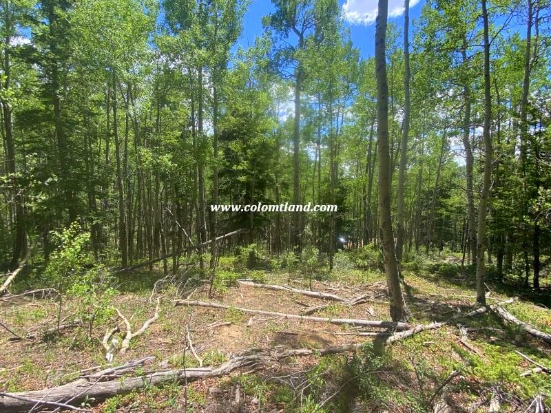
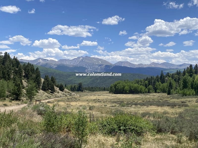


SDCR D-69-934
Property Details
- Unit D
- Block: 69 Lot: 934
- Elevation: 8,200 feet
- Size: 5.163 Acres
Property Highlights
- Septic Already In! – Permitted system saves you $8-10K+ and months of hassle
- Unique Rattlesnake Mesa Views – Special perspective with Mt. Blanca peeking over the mesa’s shoulder
- Reservoir Access – 5 minutes to Mountain Home for fishing and boating
- Huge Level Pad Ready – Ample space for home, garage, and all your toys
Pricing Information
- Cash Price: $19,500
- Financed Price: $22,000
- Down Payment: $9,000
- Monthly Installments: $250 x 52 months
Property Features
- Excellent views
- Driveway
- Ample parking/building pad
- Septic installed on the lot
- Ideal for RV camping or a year-round homesite
Location and Accessibility
- Mountain Home Reservoir (approximately 5-minute drive away) offers fishing and boating
- Fort Garland: About a 10-minute drive away, offers a Post Office, grocery store, two gas stations, and several restaurants
- Colorado’s oldest town San Luis, is located 15-20 minutes south on Highway 159
- Alamosa: Approximately a 30-minute drive west on U.S. 160, offers a Walmart, hospital, restaurants, and other amenities
- Year-round accesible
Directions
- Starting Point: Fort Garland
- Head south on Colorado Hwy 159 for approximately 4.7 miles.
- Turn left on County Lane 6.
- Follow County Lane 6 for roughly 2.5 miles to a 4-way intersection.
- Continue straight onto Juarez Road and drive for 1 mile.
- Turn right onto Bateman Road and continue for around 0.35 miles.
- Lot 936: Located on your left
- Continue on Bateman Road for approximately 0.4 miles
- Lot 934: The driveway entrance is on your left.
Property Images


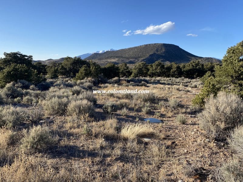

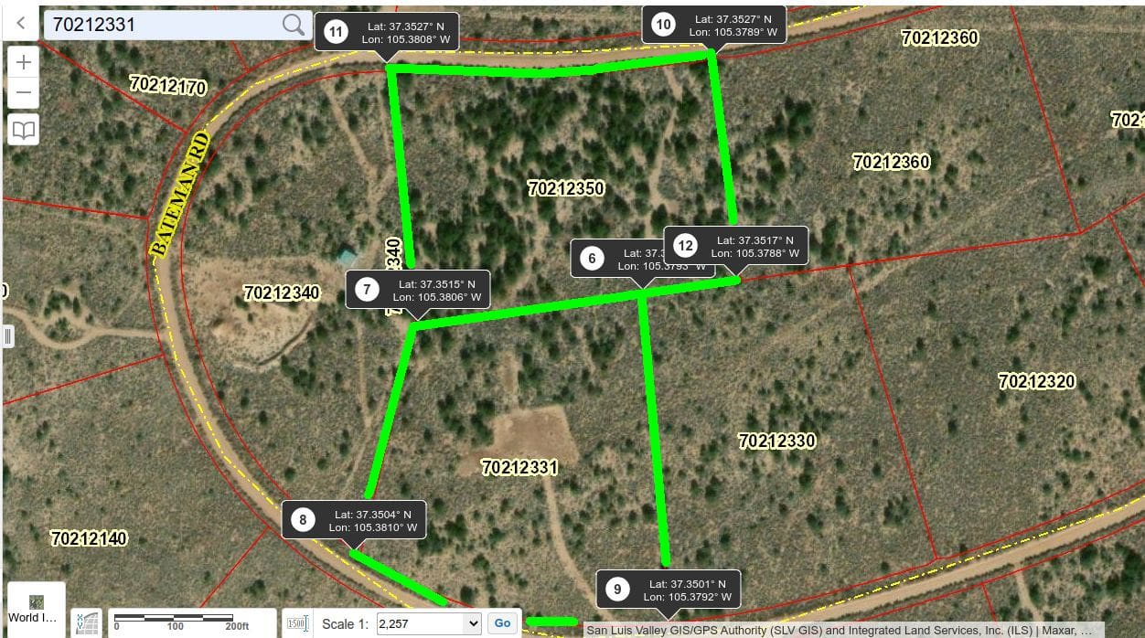
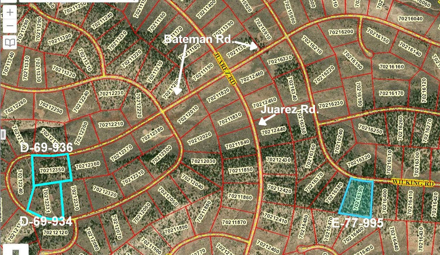
SDCR D-69-936
Property Details
- Unit D
- Block: 69 Lot 936
- Elevation: 8,200 feet
- Size: 5.178 Acres
Property Highlights
- Valley Floor Theater – Watch storms roll across the San Luis Valley
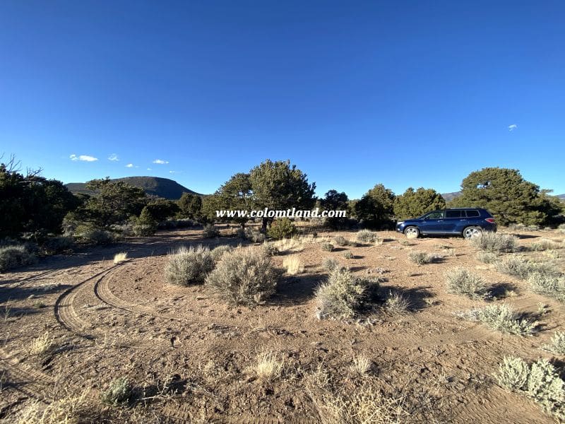
- Piñon-Framed Building Pad – Circular drive already carved out ($2-5K saved)
- Private Yet Connected – Secluded feel with nice homes nearby
Pricing Information
- Cash Price: $16,500
- Financed Price: $18,500
- Down Payment: $7,500
- Monthly Installments: $250 x 44 months
Property Features
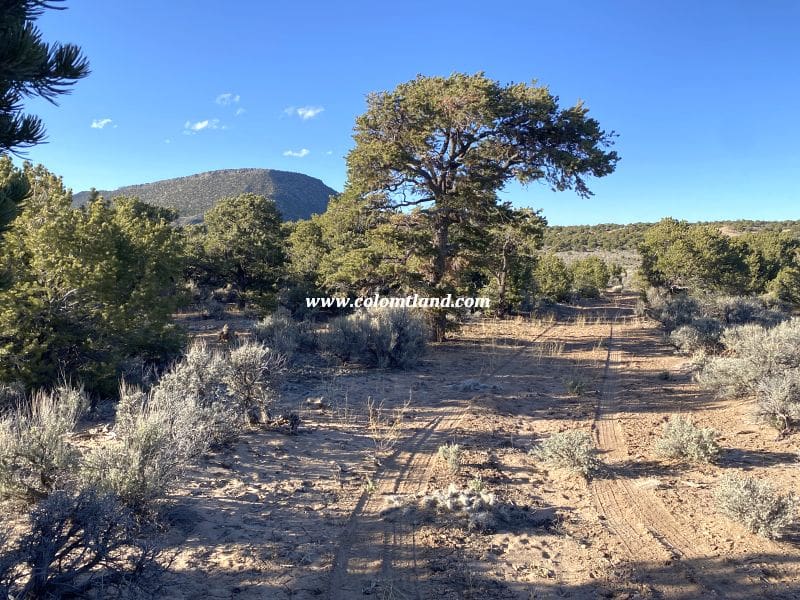
- Driveway leading to a circular pad
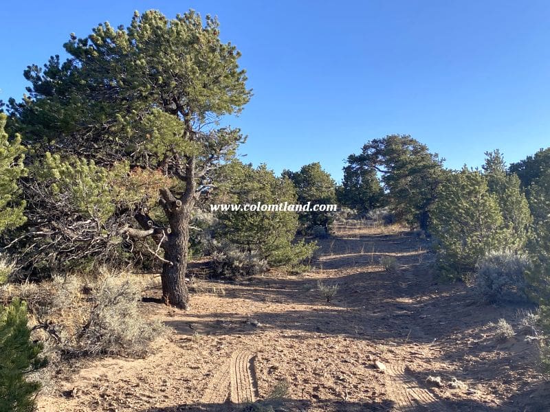
- Concentration of Pinion trees for a secluded feel
- Views: San Luis Valley to the West, Rattlesnake Mesa, and the Blanca Massif to the north
Ideal for
- Development: Year-round dwelling or vacation home
- Community: Several, well-kept homes in the vicinity
- Ideal for RV camping or a year-round homesite
Location and Accessibility
Nearby Towns and Amenities
- Nearby Attraction: Mountain Home Reservoir (approximately 5-minute drive away)
- Offers fishing and boating
- Fort Garland: About a 10-minute drive away
- Offers: Post Office, grocery store, two gas stations, and several restaurants
- The town of San Luis: About 15-20 minutes south on Highway 159
- Noteworthy: Colorado’s oldest town
- Alamosa: Approximately a 30-minute drive west on U.S. 160
- Offers: Walmart, hospital, restaurants, and other amenities
- Year-round accessible
Directions
- Starting Point: Fort Garland
- Head south on Colorado Hwy 159 for approximately 4.7 miles.
- Turn left on County Lane 6.
- Follow County Lane 6 for roughly 2.5 miles to a 4-way intersection.
- Continue straight onto Juarez Road and drive for 1 mile.
- Turn right onto Bateman Road and continue for around 0.35 miles.
- Lot 936: Located on your left
- Continue on Bateman Road for approximately 0.4 miles
- Lot 934: The driveway entrance is on your left.


Property Images
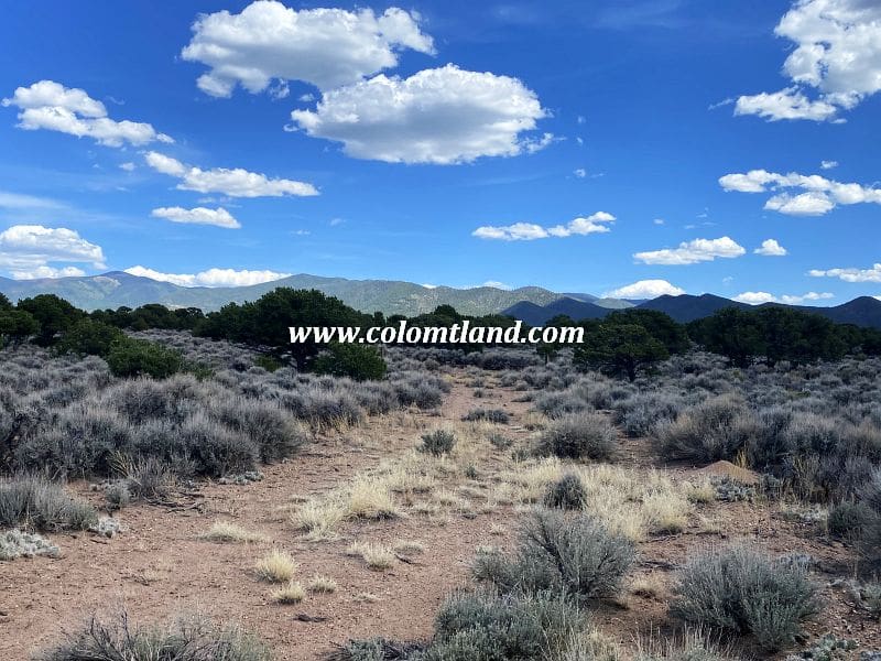
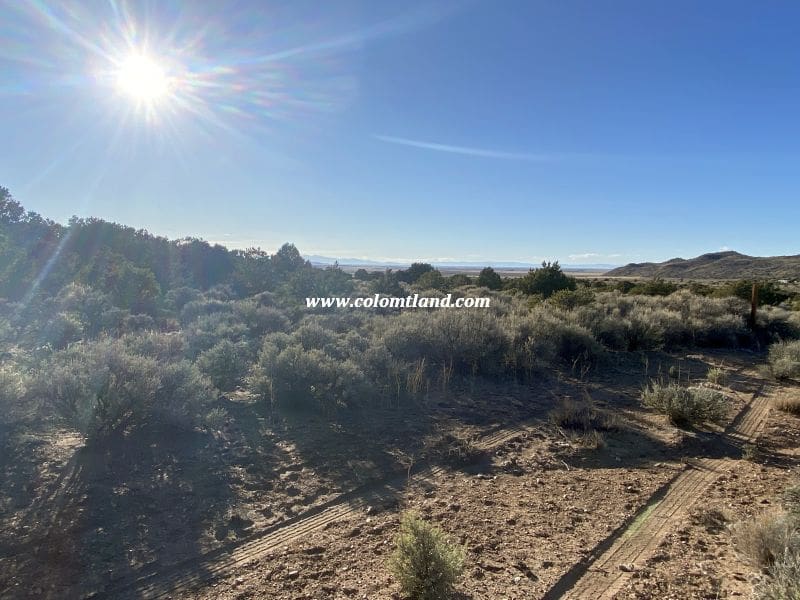

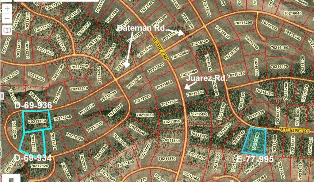
Property Map
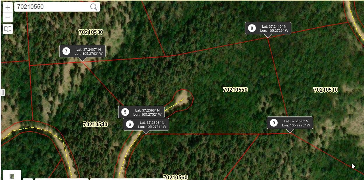

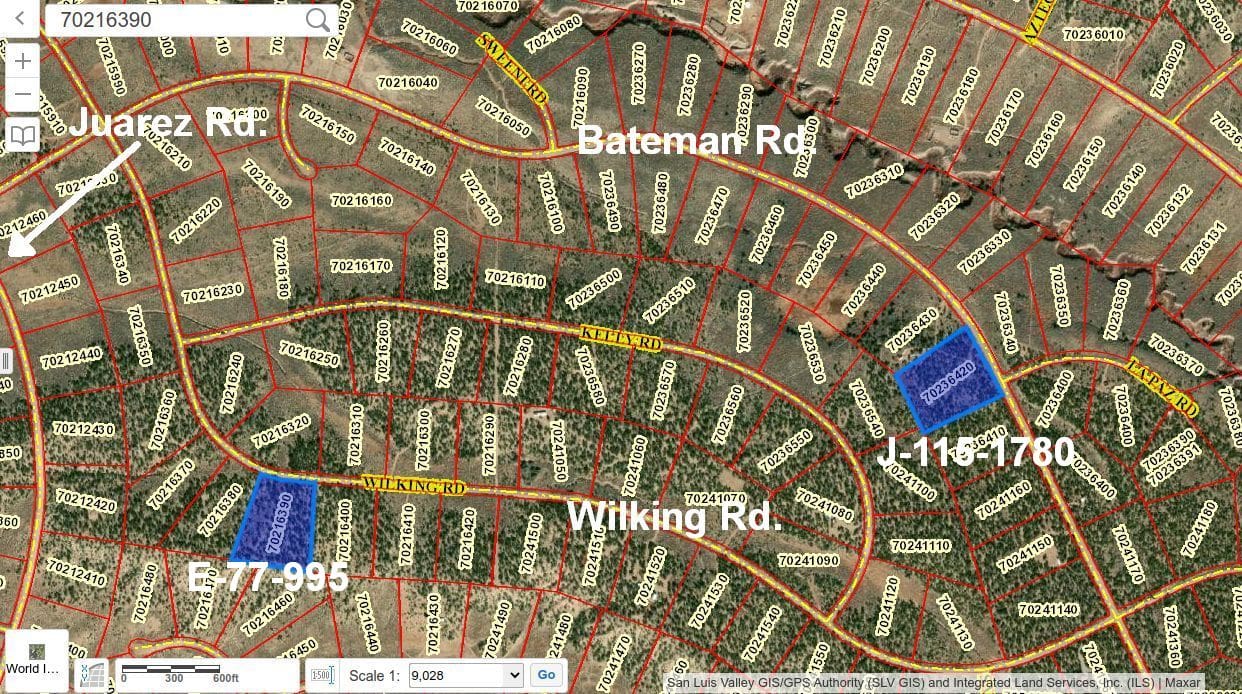
SDCR E-77-995
Property Details
- Unit E
- Block: 77 Lot: 995
- Elevation: 8,350 feet
- Size: 5.067 Acres
Property Highlights
- Piñon Privacy Haven – Mature trees throughout for seclusion without feeling closed in
- Choose Your View – Multiple building sites to capture your perfect Blanca Massif, Mesa or foothills backdrop
- Endless Southern Horizons – Sweeping vistas all the way to Ute Mountain with intimate foothills dancing to the east
- 8 Minutes to Adventure – Quick reservoir access from your private retreat
Pricing Information
- Cash Price: $24,500
- Financed Price: $28,000
- Down Payment: $11,200
- Monthly Installments: $350 x 48 months
Property Features
- Heavily wooded with mature Pinion pines
- Gains slightly in elevation from Wilking south to the property’s rear
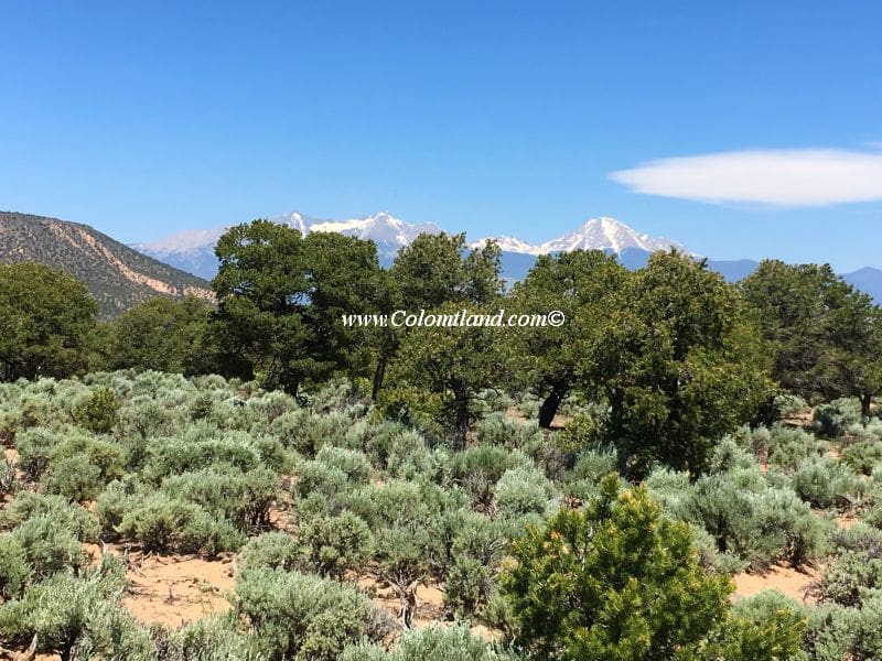
- Great views of Blanca Massif and Rattlesnake Mesa from the road and several potential building spots on the lot
- Provides a secluded feel due to its many trees
- A few potential building areas require a driveway and pad
- Mountain Home Reservoir: Approximately 8 minutes away
- Offers: Fishing and camping
- Alamosa: About 25 minutes West of Fort Garland
- Amenities: Walmart, hospital, many restaurants, and other amenities
- Various spots to pitch a tent for a weekend camping trip
Location and Accessibility
- Fort Garland: About a 10-minute drive away
- Offers: Post Office, grocery store, two gas stations, a liquor store, two motels, and several restaurants
- Year-round accesible
Directions
- Starting Point: Fort Garland
- Head south on Colorado Hwy 159 for approximately 4.7 miles.
- Turn left onto County Lane 6.
- Follow County Lane 6 for about 2.5 miles to a 4-way intersection.
- Continue straight onto Juarez Rd.
- Drive for 1 mile on Juarez Rd.
- Turn left onto Bateman Rd and drive for 0.2 miles.
- Take the first right onto Wilking and reset your odometer.
- Drive 0.45 miles and stop your car.
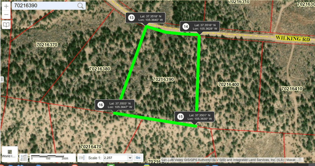
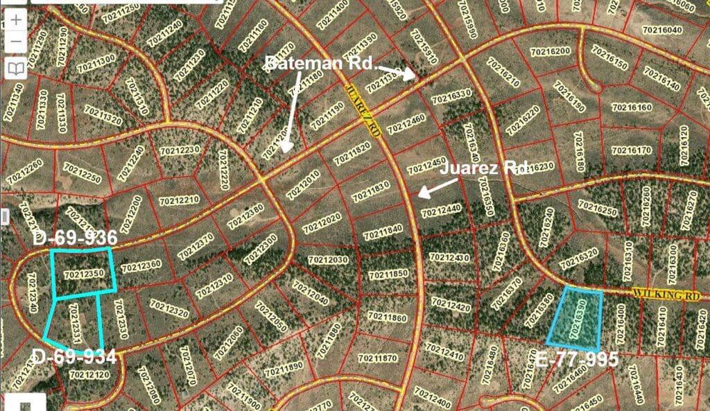
- The Northwest corner of SDCR E.995 is on your right.
Property Images



SDCR E3-292-6649
Property Details
- Unit E-3
- Block: 292 Lot: 6649
- Elevation: 11,400 feet
- Size: 5.5 Acres
Pricing Information
- Cash Price: $22,800
- Fast Pay Option: $11,400 down and balance paid within 18 months
- Financed Price: $25,400
- Down Payment: $9,200
- Monthly Installments: 54 payments of $300 each
Property Features
- Accessibility: Approximately from Memorial Day through December
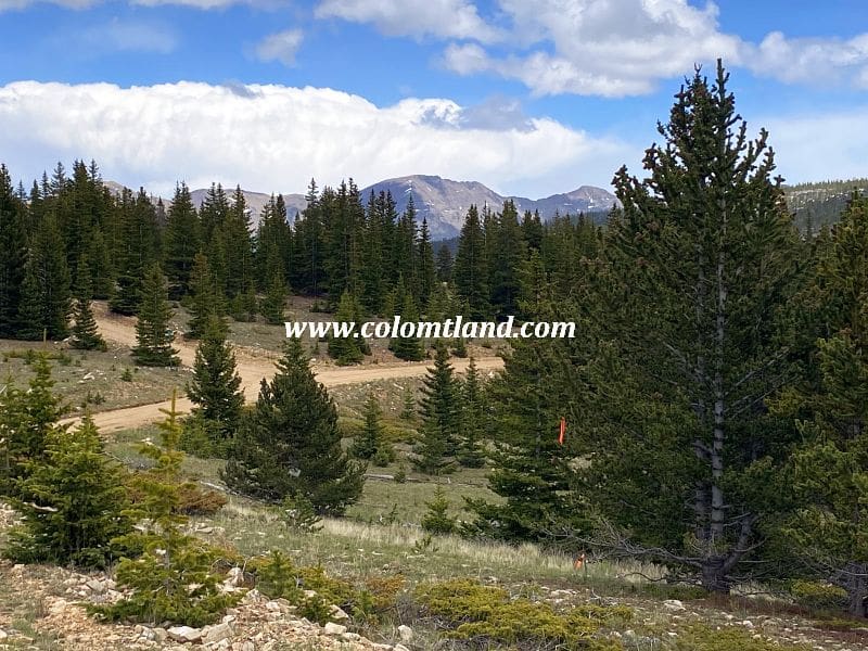
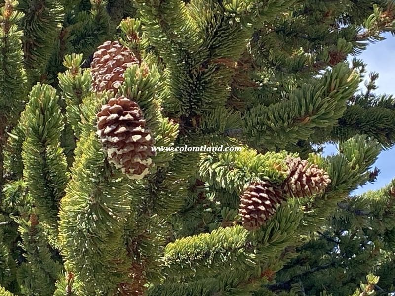
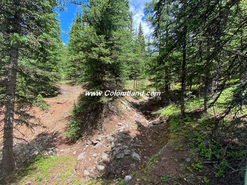
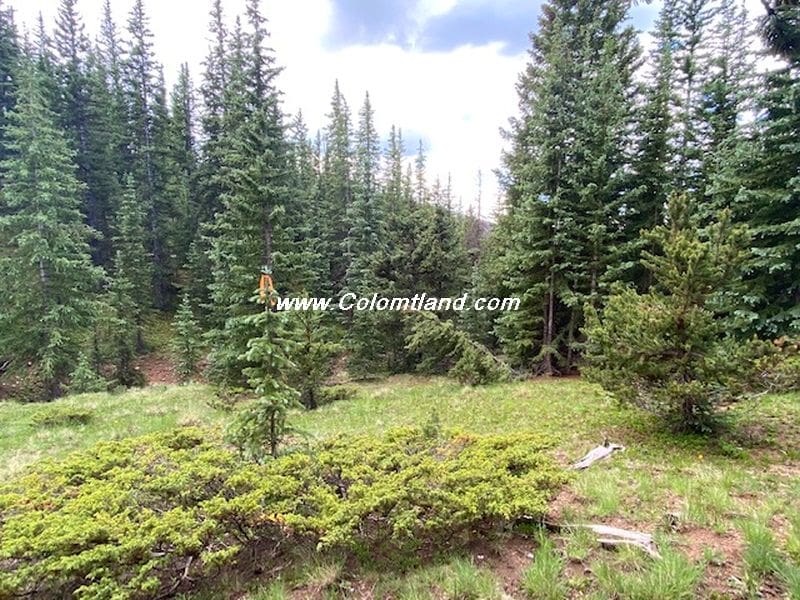
- Situated in an area with beautiful alpine meadows and Bristle Cone Pine stands
- Offers commanding “Top of the World” views
- Lot Specification:
- About 100 feet near the road with a slope < 10%. This area could be used for camping or building.
- From the road (elevation 11,400′) to the southern corner (elevation 11,260′), the distance is approximately 800 feet.
- Extra Features:
- During late July and early August, several types of mushrooms grow beneath the trees and in the meadows in this area.
- There is a lovely cabin across Forbes and East of Moose.
- The area is mainly used for camping and recreation during the warmer months.
Location and Accessibility
This property is only accessible between Memorial Day and early December. It is located at an elevation above 11,000″. Certain road conditions might make the property inaccessible to vehicles. Precise caution is necessary when the roads get muddy or snowy. Portions of Forbes possess a very slippery, silty clay surface, which can cause the vehicle to slide into the ditch. If such conditions are present, it’s advised to use chains or not proceed.
Directions
Please Note: These directions lead to an alpine parcel above 11,000′. Access may be affected by muddy or snowy road conditions. A 4-wheel drive with good clearance is recommended. If road conditions are difficult, please ensure your vehicle is equipped with chains or opt for a different time to access the parcel.
- Starting Point: Fort Garland
- Head south on Colorado Hwy 159 for approximately 10 miles.
- After passing Mile Marker #22, turn left onto Jasper Road.
- Take the next right, drive 1/4 mile, then turn left onto Rito Seco Road.
- Continue east on Rito Seco Road for about 5 miles, passing some Battle Mountain Gold Mine buildings on your left.
- Turn right onto Forbes Road (the main road into the high country), and reset your odometer.
- Drive up the mountain on Forbes Road for about 8.8 miles, just past Moose Road on your right.
- The lot begins on the left side of Forbes Road and extends approximately 580 feet along the road to the northwest corner.
Consider road conditions and ensure your vehicle is prepared for the drive.
Property Images





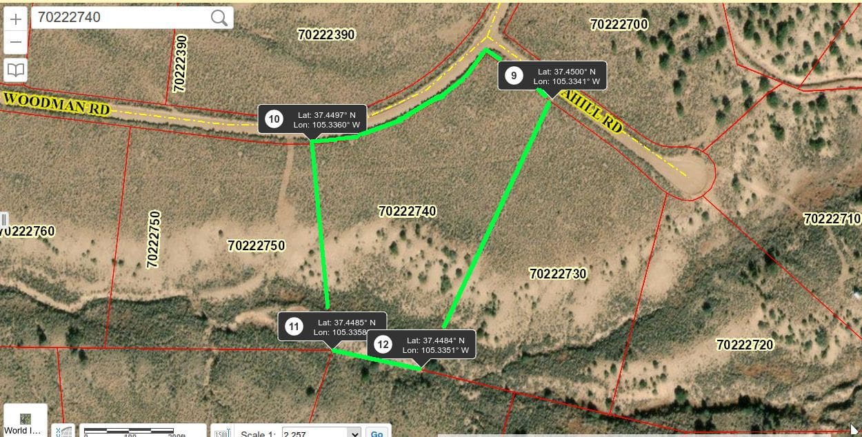
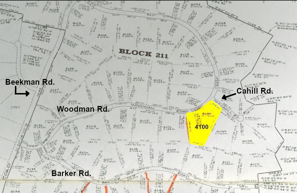
SDCR F2-212-4100
Property Details
- Unit F-2
- Block: 212 Lot: 4100
- Elevation: 8240 feet
- Size: 5.036 Acres
Property Highlights
- Natural Amphitheater Setting – Unique terrain perfect for walkout basement design
- Seasonal Water Feature – Summer rains bring the wash to life
- A Designer’s Canvas – Varied terrain invites custom design with ideal south-west exposure
Pricing Information
- Cash Price: $10,500
- Financed Price: $12,000
- Down Payment: $4,800
- Monthly Payments: $200 for 36 months
Property Features
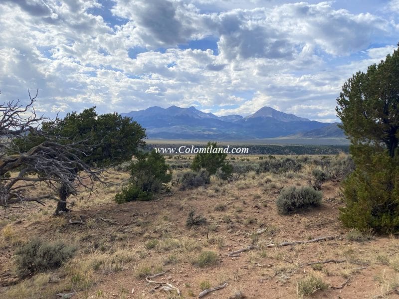
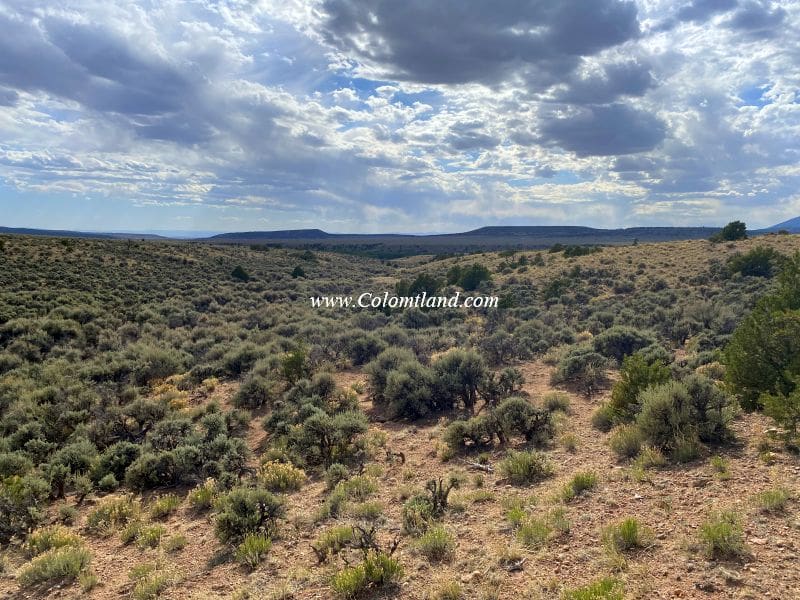
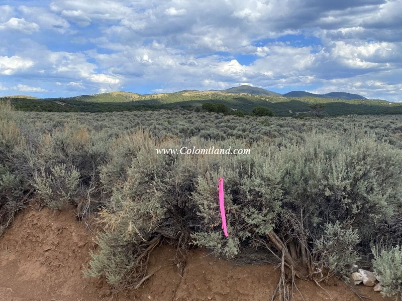
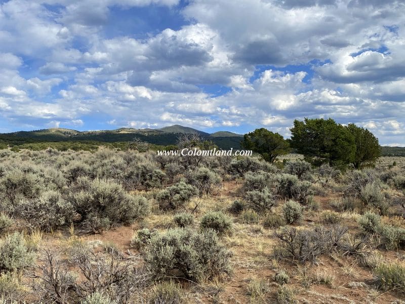
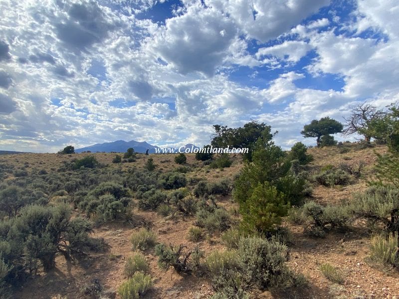
- Stunning views of the Blanca Massif, a towering mountain range to the north.
- It is ideal for a permanent dwelling due to its easy and reliable year-round access.
- Ideal building sites
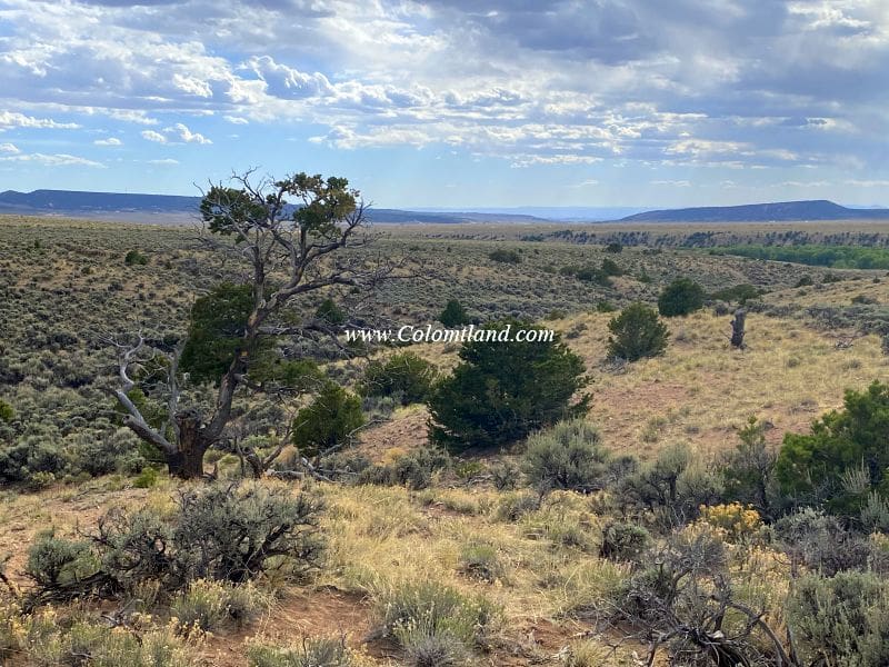
- Vegetation mainly includes sagebrush, with a few pinion pines
- Offers varied terrain, adding to its appeal and potential
- A seasonal wash towards the back of the property provides an exciting feature
This lot isn’t just a potential building site—it offers a sensory feast of nature and a gorgeous view throughout the seasons.
Location and Accessibilty
- The parcel is located at the corner of Woodman and Cahill.
- Year-round accessible
Directions
- Starting Point: Intersection of U.S. 160 and State Highway 159 in Fort Garland
- Head east on U.S. 160 for approximately 1.8 miles.
- Turn right and pass through the Trinchera Ranch entrance.
- Follow the paved Trinchera Ranch Rd for about 1.1 miles.
- Take a left turn onto Beekman and continue for approximately 2.7 miles.
- Turn right onto Woodman Rd.
- At the fork, stay left to remain on Woodman Rd.
- Drive for about 0.6 miles from the split to reach Cahill Rd., which turns to the right.
- The parking and the lot are on the right, on the southwest corner of Woodman and Cahill.
Coming Soon
Property Images
Coming Soon

SDCR J-113-1729
Property Details
- Unit J
- Block: 113 Lot: 1729
- Elevation: 8425 feet
- Size: 5.274 Acres
Property Highlights
- Ojito Creek Area – Nice location near seasonal creek drainage with building sites set back and above the road
- Flexible Building Sites – Southern slopes offer valley views with easy terrain
- Under 10 Minutes to the Lake – Quick access to Mountain Home Reservoir
Pricing Information
- Cash Price: $17,500
- Financed Price: $20,000
- Down Payment: $8,000
- Monthly Payments: $250 for 48 months
Property Features
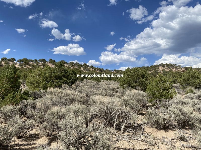
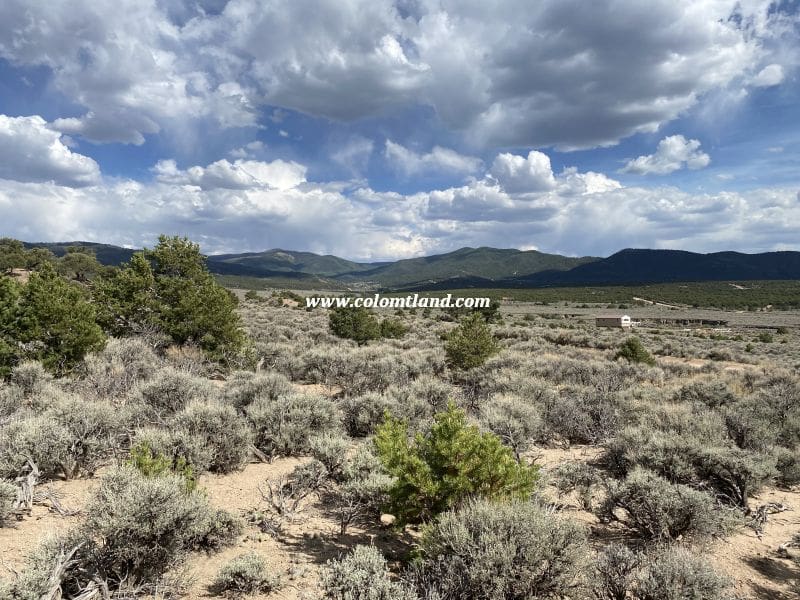
- Moderately wooded with Pinion Pines
- Offers beautiful views of the San Luis Valley and surrounding ridges
- Blanca Massif can be seen from the top of the ridge
- Less than a 10-minute drive from the Mountain Home Reservoir
- Several potential building sites are available; however, they will need the installation of a driveway and pad.
- There are opportunities for off-road camping with the right vehicle and a little shovel work
Location and Accessibility
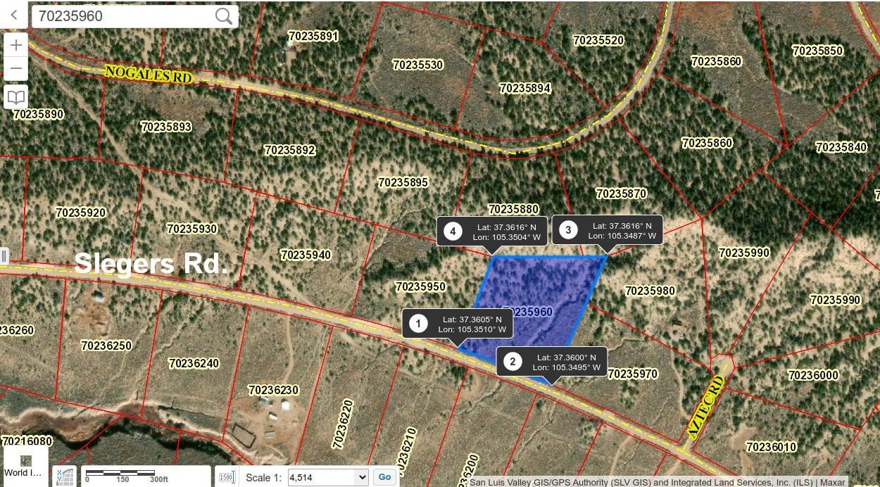
- The parcel is located near Ojito Creek, with a neighbor across and a bit West of Slegers.
- Year-round accessible
Directions
- Starting Point: Fort Garland
- Head south on Colorado Hwy 159 for about 4.7 miles.
- Turn left onto County Lane 6.
- Follow County Lane 6 for approximately 2.5 miles to a 4-way intersection.
- Turn left to stay on County Lane 6 and continue for 0.9 miles.
- Turn right onto Luke, then take the first right onto Slegers.
- Reset your odometer and drive for 3.3 miles.
- The lot is on the left, two lots west of Aztec.
Property Images
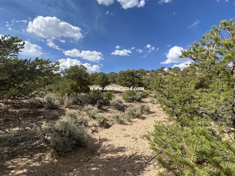
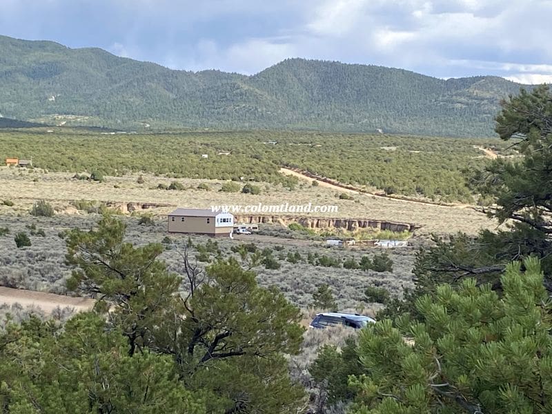
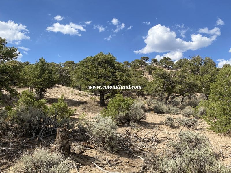
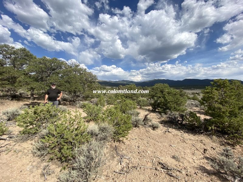
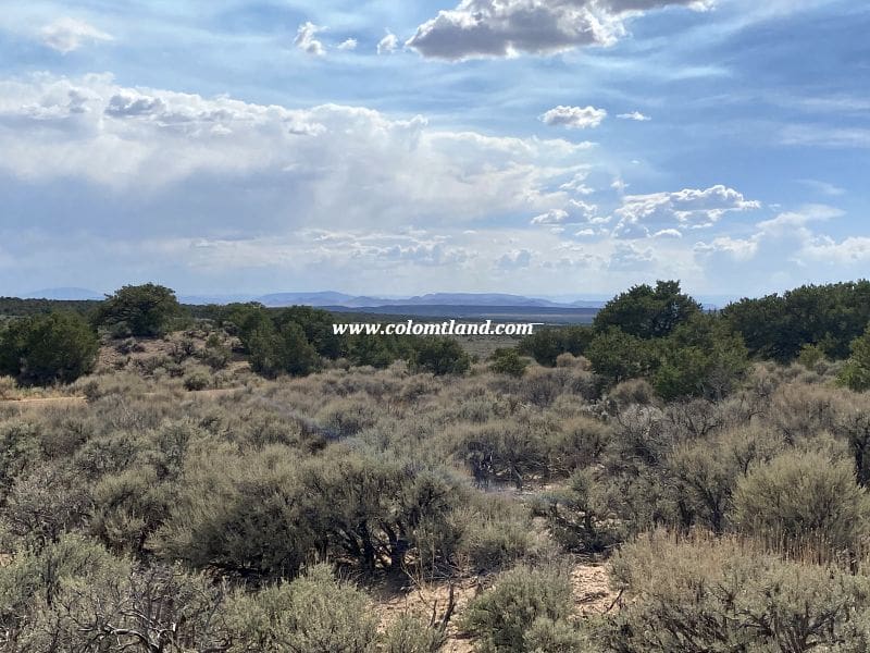
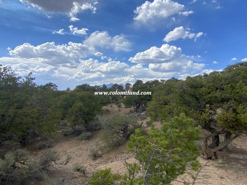
Coming Soon

SDCR J-115-1780
Property Details
- Unit J
- Block: 115 Lot: 1780
- Elevation: 8420 feet
- Size: 5.158 Acres
Property Highlights
- Tucked-In Mountain Feel – Nestled among the foothills of the Sangre de Cristo Range, with a commanding Blanca Massif presence and an elevated feel
- Level Building Area – Great views without extensive grading
Pricing Information
- Cash Price: $13,000
- Financed Price: $14,900
- Down Payment: $5,900
- Monthly Payments: $250 for 36 months
Property Features
- Heavily wooded with Pinion Pines, providing a sense of seclusion and quiet
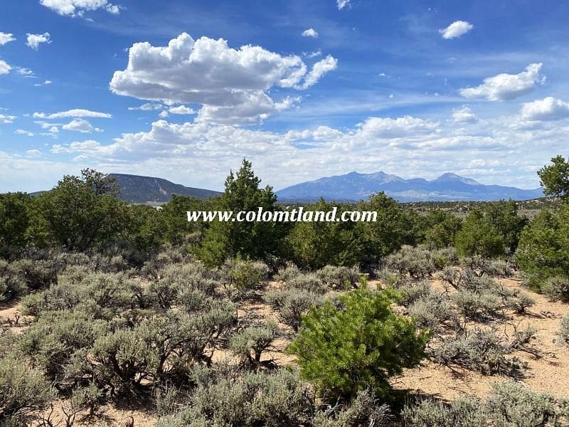
- Beautiful views of Blanca Massif and Rattlesnake Mesa
- A partial driveway and potential building area are already set
- Great views of Mt. Blanca from a possible building area in the southern half of the parcel
Note:
- A professionally installed culvert is needed to gain access to lot from Bateman Rd
- A neighbor to the West appears to have built his home straddling the boundary line
Location and Accessibility
- Near Ojito Creek at the corner of Bateman Rd and La Paz Rd
- Year-round accessible. However, Bateman Rd can be muddy in spring
Note: Mountain Home Reservoir (approximately 8 mins away)
Directions
- Starting Point: Fort Garland
- Head south on Colorado Hwy 159 for about 4.7 miles.
- Turn left onto County Lane 6.
- Follow County Lane 6 for approximately 2.5 miles to a 4-way intersection.
- Continue straight onto Juarez Rd. and drive for 1 mile.
- Turn left onto Bateman Rd.
- Continue for 1.4 miles and park across from La Paz Rd.
- The lot is on the right.
Note: During spring months (approximately 1-2 months), roads to this parcel may be muddy and slick. A high-clearance or 4WD vehicle is recommended during this period.
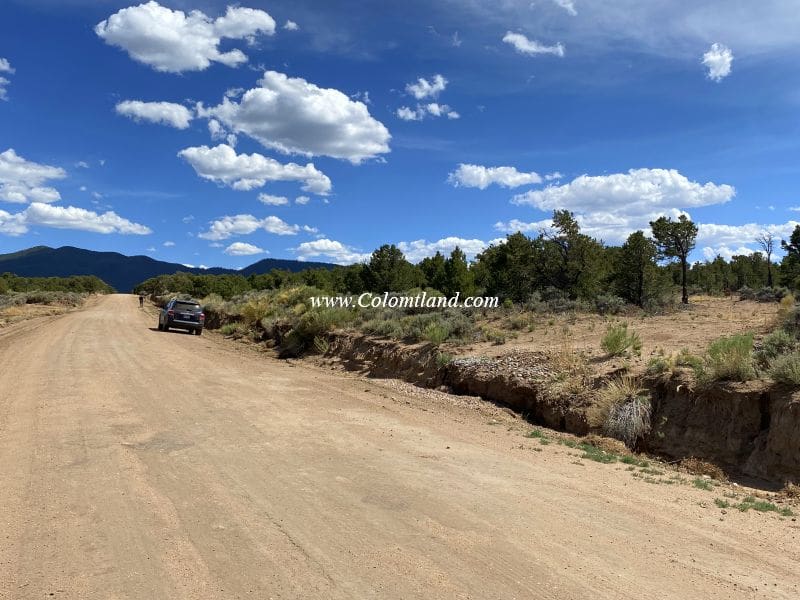
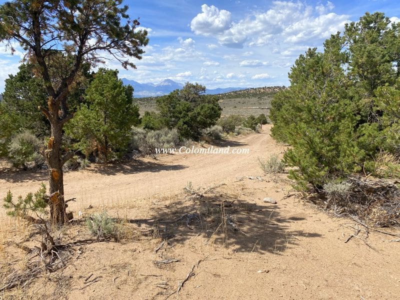
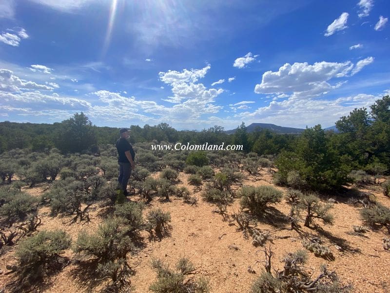
Property Images


Coming Soon
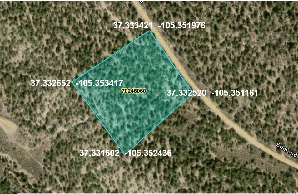
SDCR L-125-2023:
Property Details
- Unit L
- Block: 125 Lot: 2023
- Elevation: 8,600 feet
- Size: 5.159 Acres
Property Highlights
- Piñon Forest Hideaway – Mature tree coverage for natural privacy and shelter
- Astronomer’s Dream – Exceptionally dark skies reveal the Milky Way in stunning clarity
- Blanca Massif Presence – Commanding views of Colorado’s highest alpine peak, with Ellingwood, Little Bear, and Lindsey forming a dramatic high-altitude backdrop
Pricing Information
- Cash Price: $18,500
- Financed Price: $21,300
- Down Payment: $8,800
- Monthly Payments: $250 for 50 months
Property Features
- This parcel is relatively flat
- Heavily wooded with mature Pinion pines
- Great views of Blanca Massif and Rattlesnake Mesa from the road and there are several potential building spots
- Provides a secluded feel due to its many trees
- Building area will require a driveway and pad
- Mountain Home Reservoir is 4.5 miles away & is known for its Trout fishing and camping
- Alamosa is about 25 minutes West of Fort Garland & has a Walmart, Safeway, Home Depot, City Market, hospital, many excellent restaurants, and other amenities
- Various spots to pitch a tent for a weekend camping trip
- Off Grid (no power nearby)
- Water: You can drill a well or use a cistern
Location and Accessibility
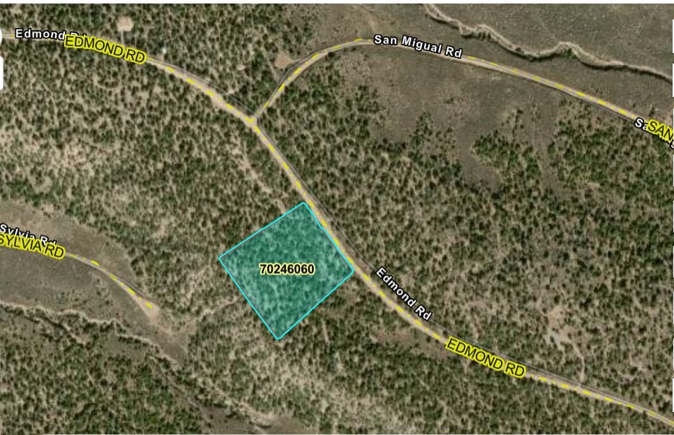
- Located on Edmonds Rd. this parcel is mostly year-round accessible (but Edmonds can get muddy in the spring)
- Fort Garland is approx. 8 miles away & has a Post Office, grocery store, two gas stations, a liquor store, two motels, and several restaurants
Directions
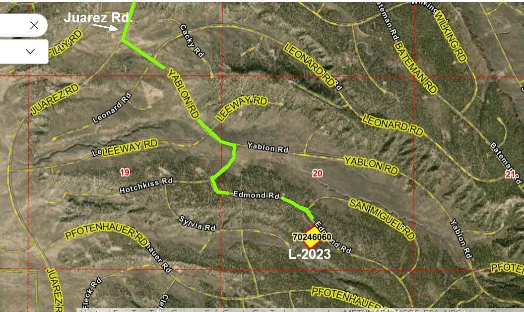
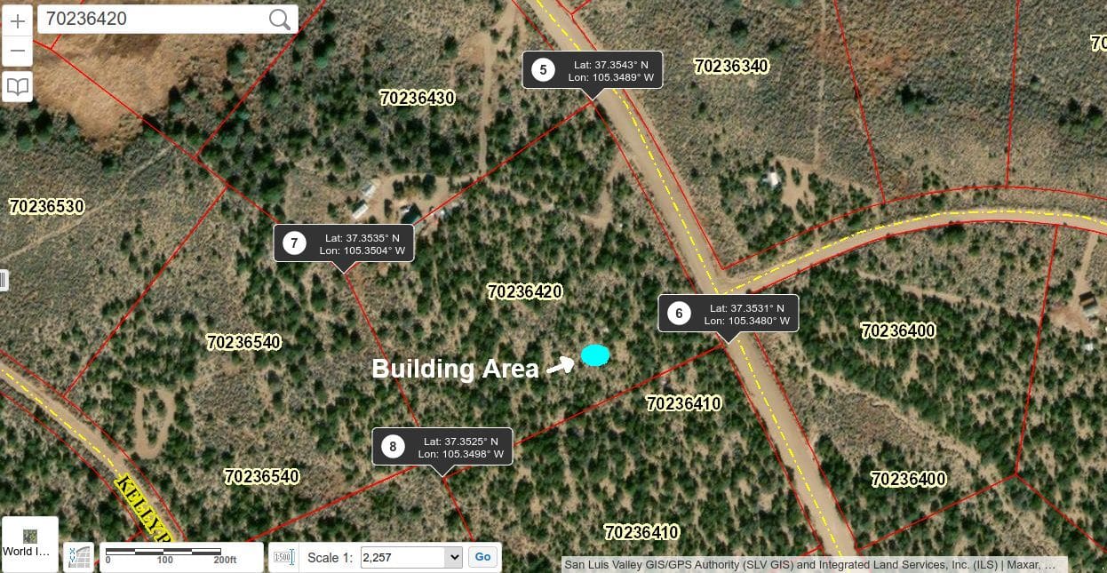
From Fort Garland head south on CO 159 for almost 5 miles and turn left near Mile Marker #29. Head East on County Lane 6 and after 2.5 miles, go straight across intersection. Zero odometer as you cross the intersection. Continue east and then south on Juarez for 1.7 miles and turn left at Yablon Road. Drive .80 miles on Yablon to a right turn on Hotchkiss, then take the next left on Edmonds Rd. Drive .64 miles on Edmonds and park car. Lot begins on your right side and continues an additional 400 feet south-east along Edmonds.
Note: During spring months (approximately 1-2 months), roads to this parcel may be muddy and slick. A high-clearance or 4WD vehicle is recommended during this period.